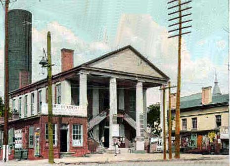
 Charlotte's Neighborhoods
Charlotte's Neighborhoods
When we talk about neighborhoods, it's important to understand that Charlotte has range of neighborhood types. Just like fashion (wool caps in the 1920s, to polyester suits in the 1970s), neighborhoods emerge during different eras of growth and development. Charlotte has at least five distinctive neighborhood types which you'll learn about below. Let us know what type of neighborhood you live in, and what you like/don't like about it.
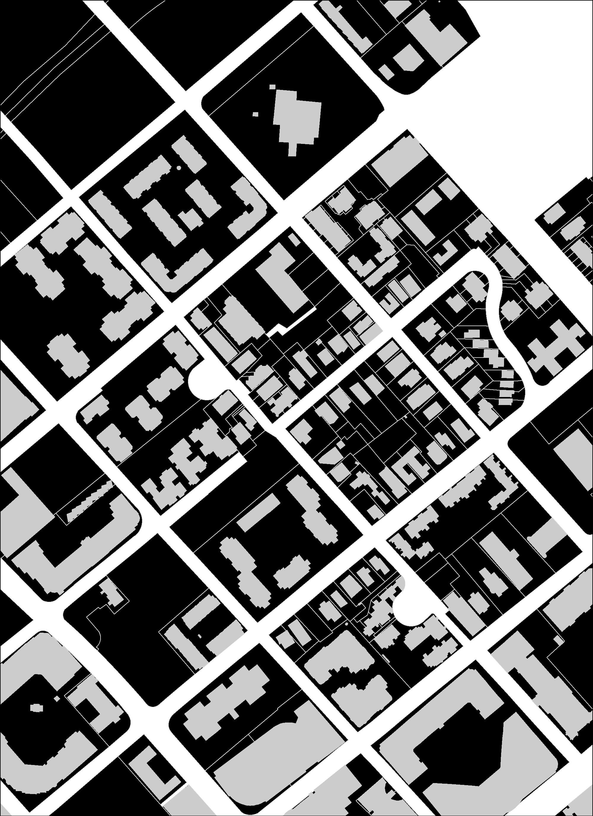
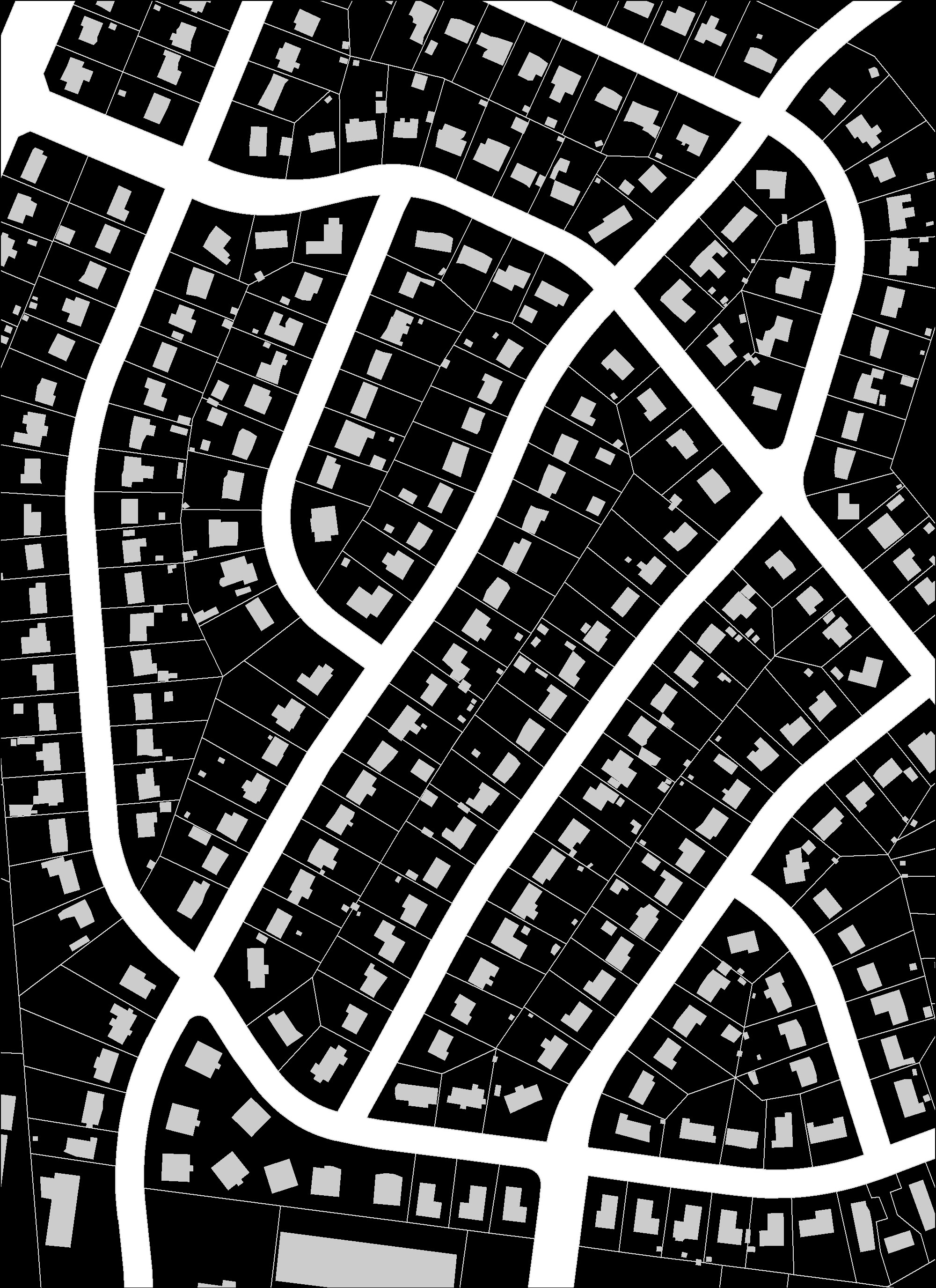
Charlotte's Four Wards
(1768 to 1800s)
- Charlotte’s earliest neighborhoods are the Four Wards that today are encircled by I-277. Wards were the city's original voting districts.
- Although infill and redevelopment has occurred, these neighborhoods were developed to include a mix of land uses and building types.
- Development was organized around a grid street network.
What do you figure the image is below? It's a figure ground - it's like an X-ray for understanding a city.
Click the map image below to see where you are!
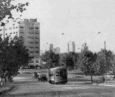
Streetcar Suburbs
(1890s to 1930s)
- Streetcar suburbs are the first ring of development that occurred outside of Uptown's Four Wards with the extension of streetcar lines. Streetcar service stopped in 1938.
- These neighborhoods are characterized by a central commercial district, typically located along a main street (often a former streetcar line).
- The commercial district is surrounded by residential areas that include a mix of housing types, such as single family homes, duplexes, and quadraplexes. Civic uses such as churches and parks are mixed in among the residential areas.
- The neighborhoods are organized along an grid street network.
Click the map image below to see where you are!
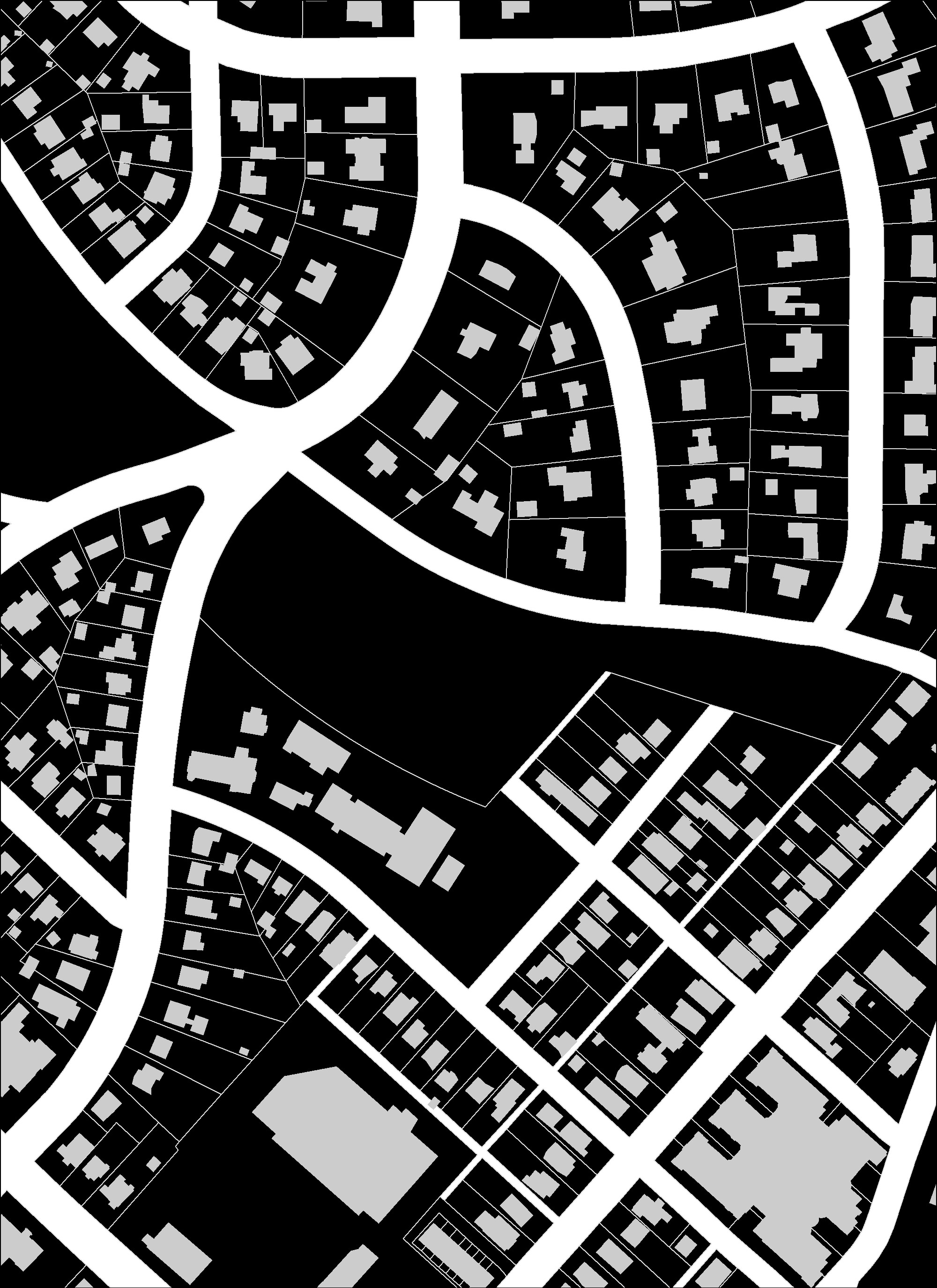
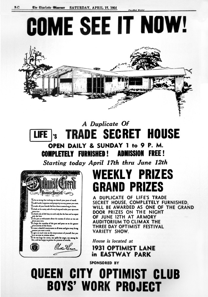
1st Generation Automobile Suburbs
(1940s to 1960s)
- 1st Generation Automobile Suburbs are the second ring of development that occurred outside Uptown.
- These neighborhoods are characterized by large subdivisions of single-family detached houses and shopping centers.
- Residential subdivisons feature large, private lots laid out along curvilinear street networks.
- Civic uses such as schools and churches are not incorporated throughout the subdivisions and residents typically need a car to access the shopping centers.
Click the map image below to see where you are!
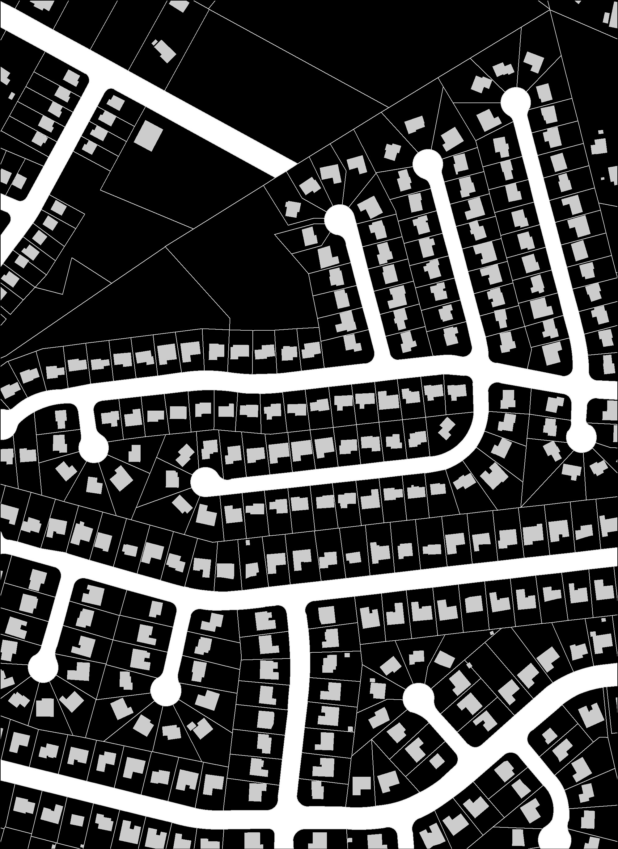
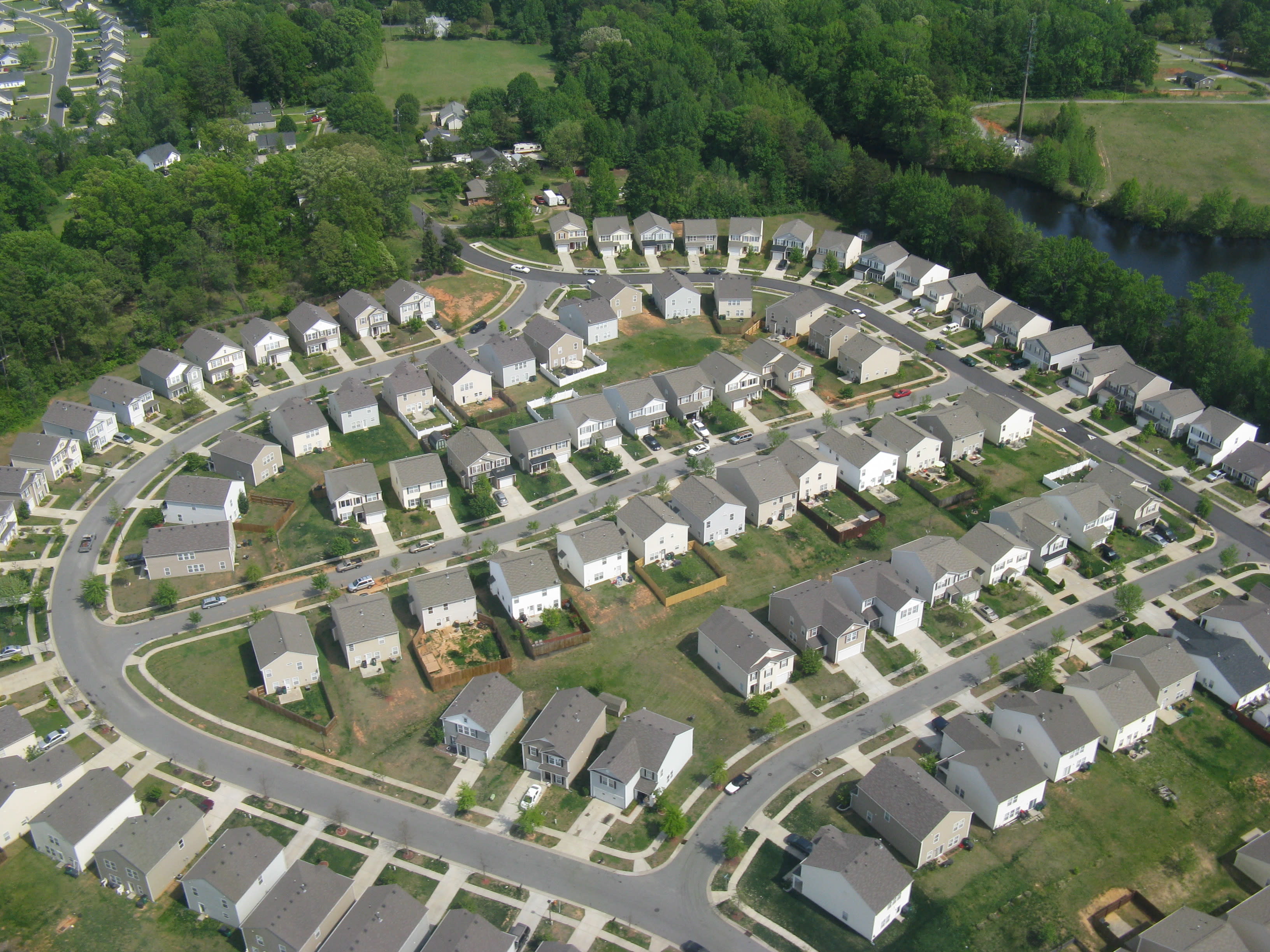
2nd Generation Automobile Suburbs (1980s to 2000s)
- 2nd Generation Automobile Suburbs are the third ring of development that occured outisde Uptown.
- The major difference between the 1st and 2nd Generation Automobile Suburbs is the 2nd Gen. typically included more cul-de-sacs. While cul-de-sacs prevent through-traffic, they also reduce street connectivity throughout the city and increase traffic congestion along major thoroughfares.
Click the map image below to see where you are!
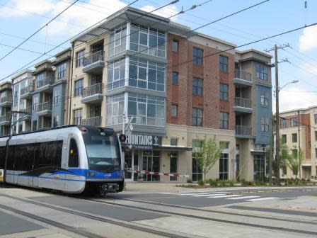
Transit-Oriented Neighorhoods
(2007 to Present)
- Since 2007, Charlotte has seen a new type of neighborhood development along the CATS LYNX Blue Line Light Rail known as Transit-Oriented Development (TOD).
- These neighborhoods are most similar to the Four Wards and Streetcar Suburbs since they include a mix of land uses and building types.
Click the map image below to see where you are!